


- Departure: Vaglie (958m)
- Arrival: Vaglie
- Duration: 6 hour/s 30 minutes
- Difficulty Level: E - Hiking (level)
- Difference in height: 980m
- Maximum Altitude: 1,710m
- Recommended Period: from June to October
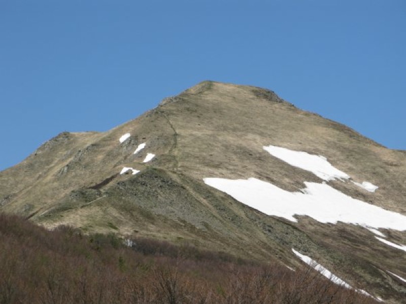
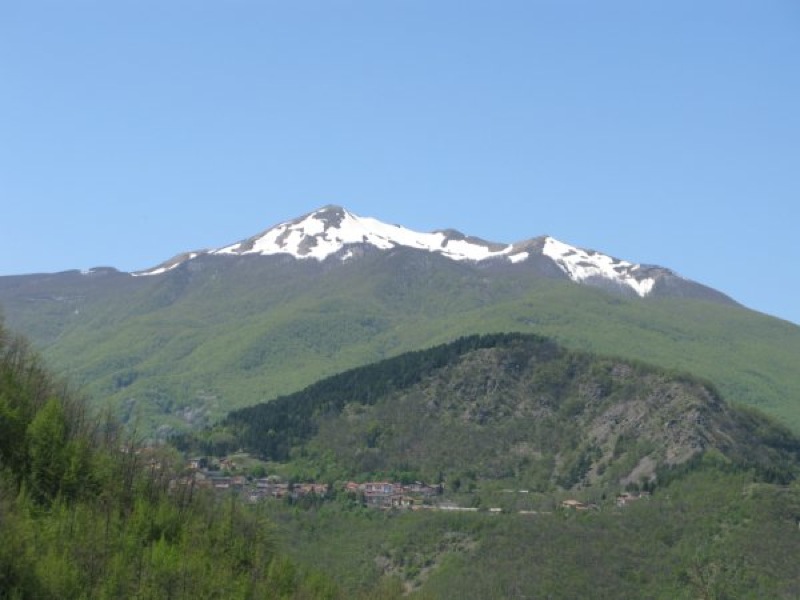
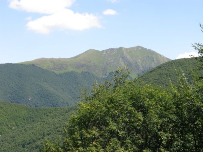
- Localities Crossed: Vaglie - Cavorsella - Pradarena - M. Cavalbianco - Ospitaletto - Vaglie
- Involved Municipalities: Collagna, Ligonchio
Zona del Parco: Zone C - Upper Val d'Ozola
Stretched out towards Val Secchia to divide the valleys of Riàrbero and d'Ozola, Mt. Cavalbianco has always been a powerful border. Although the summit is not along the ridge of the Apennines, although its slopes gradually go down to the surrounding valleys, it represented for centuries the border of at least 4 villages across woods and pastures and, according to some historians, it was the theater of bloody wars between the Ligurians and the Romans...
Stops: Vaglie: café-restaurant l'Alpino Tel. +39 0522 899123; Passo di Pradarena: hotel-mountain hut Carpe Diem, Tel. +39 0522 899151 or +39 328 2060120; Ospitaletto: restaurant-hotel Roncaccio Tel. +39 0522 899263, bar-inn Tini Tel. +39 0522 899138