Mt. Tondo

On foot         Great Interest: Panorama Great Interest: Hystory 
  • Departure: Ponteccio (980m)
  • Arrival: Ponteccio (980m)
  • Duration: 5 hour/s
  • Difficulty Level: E - Hiking (level)
  • Difference in height: 750m
  • Maximum Altitude: 1,782m
  • Recommended Period: from June to October
  • Localities Crossed: Ponteccio - La Corona - M. Tondo - Ponteccio
  • Involved Municipalities: Giuncugnano

Zona del Parco: Zone A - Orecchiella and Upper Garfagnana

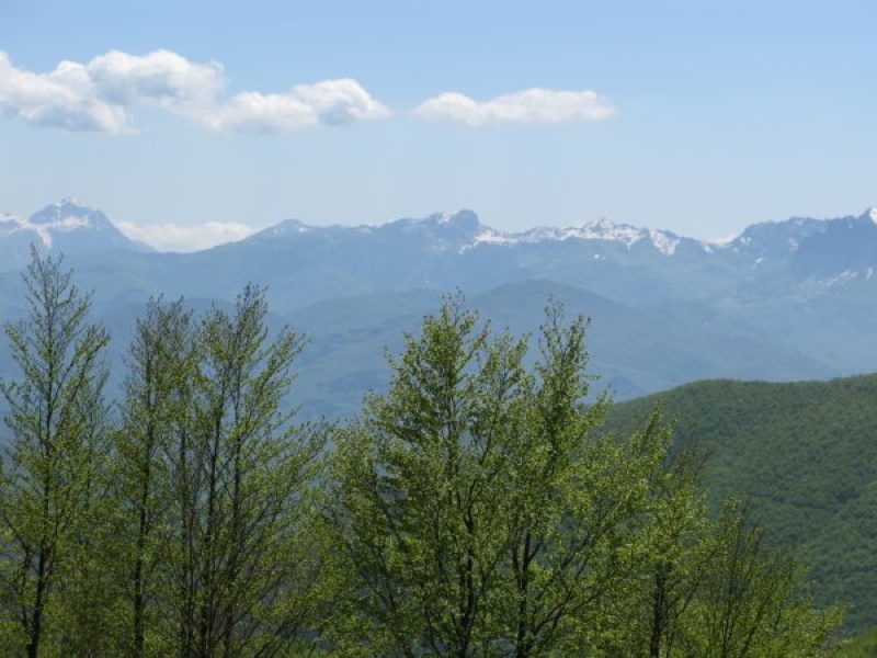
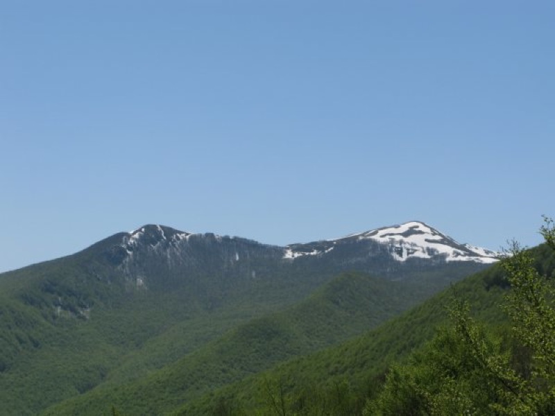
Mt. Tondo divides the basins of Serchio and Magra, and Garfagnana from Lunigiana. You will climb along the panoramic trail to the grassy summit, whose name is already a description of it, and then you will go down passing through the town of Magliano.

Stops: Ponteccio: Il Castagno Hotel-Restaurant Tel. +39 0583 615025, M. Tondo shelter

Share on
View of Alpi Apuane
Boundary stone between Garfagnana, Lunigiana, and Valle Secchia
 
© 2024 - Ente Parco Nazionale Appennino Tosco-Emiliano
Via Comunale, 23 54013 Sassalbo di Fivizzano (MS) Tel. 0585-947200 - Contatti
C.F./P.IVA 02018520359
Codice univoco per la fatturazione elettronica: UF6SX1 PagoPA
The Park is a mosaic of villages

The Tuscan-Emilian Apennine National Park is made of a variety of distinct and different pieces that come together to create one unforgettable vacation.
While the diversity of the villages, attractions, forests, and mountains may surprise you, their close proximity allows visitors to see a little bit of everything in a short amount of time.
The more you see, the more you can appreciate the entire region. Explore the mosaic of places, people and experiences which make up the Park!

Facebook
Twitter
Youtube
Flickr