


- Departure: Castelnuovo di Garfagnana (Castelnuovo di Garfagnana)
- Involved Municipalities: Castelnuovo di Garfagnana
Zona del Parco: From Garfagnana to the Lands of Matilda from Canossa
From Castelnuovo di Garfagnana, cross the river Serchio and take SR road 324 of Passo delle Radici up to Pieve Fosciana, a town developing around San Giovanni Battista Parish Church.
The next lap is Castiglione di Garfagnana, a fortified town in Alpe di San Pellegrino where, of the ancient fortress built on a rocky spur, only the walls and the outer towers remain. Today it has been transformed into a residence and is private property. The town, together with the 15th century San Michele Church and the 13th century San Pietro Church, is dominated by the fortress.
Leave SR 324 and take SP 48 to Villa Collemandina, almost entirely rebuilt after the 1920 earthquake. The most important feature of the town is the medieval SS. Sisto and Margherita Church.
Climbing towards Orecchiella Park, you will touch several country hamlets of Villa Collemandina: the first one is Magnano, a town of ancient origins preserving stone houses and open galleries surviving the earthquake. Afterwards, turn right and climb to Massa, whose streets are rich in ancient buildings, and to Sassorosso, where on the hill upstream the town you will see the foundations of the Castle tower facing the karstic gorge on the stream Corfino.
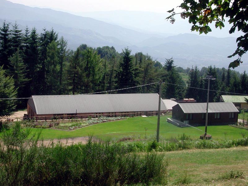
Beyond the stream, you will get to the ancient town of Corfino, at the foot of the calcareous massif of the homonymous Pania.
From the town, follow the SP road up to the junction with Pania di Corfino Botanic Gardens, already in the territory of Orecchiella Park, including the State Nature Reserves of Orecchiella, Pania di Corfino, and Lamarossa. If you go back to the SP road, you will find the road signs to Orecchiella visitor center, situated in a broad clearing at the foot of the homonymous mountain. From here you can freely take the trails of the reserve.
From the visitor center, continue along the SP road towards Soraggio: at the first crossroads, turn right and enter Lamarossa Reserve, along a dirt road which is sometimes uncomfortable. You will reach Campaiana and Solera summer grazing lands, in a panoramic context of great beauty. Here, a forest road climbs to Prato Maleta, where you will find some monumental chestnut and beech trees. The road becomes narrow and faces the steep slopes of Serchio gorges.
Beyond the Municipalities of Rocca Soraggio and Sillano, take the road SP 12 to Pradarena Pass, running along Valle del Serchio and crossing spectacular forests. From the pass, several hiking trails leave, as well as a forest road leading to the nearby Cavorsella Pass.
Beyond the pass, in Emilia, the road becomes SP 18 and goes down in hairpin bends to the valley joining Ozola valley. You will get in the small tourist settlement of Ospitaletto, then Casenove, where you can visit Corte dei Papi, and the town Vaglie, characterized by a rich architectural heritage.
Going ahead along SP 18, on the right you will find a forest road leading to Valle del Rio Re: along the way, you will see the outcrops of the Triassic Gypsum Formations. Moreover, immediately before the town of Ligonchio, you will find the Enel service road on the right, ideal by mountain bike or on foot: it goes down to the deep gorge of Valle dell'Ozola, continues to Lama Lite Pass, Segheria Mountain Hut, and Forbici Pass.
Once you are in Ligonchio, at over 900m of altitude, housing the offices of the Park Community and, in the future, Atelier dell'Acqua e dell'Energia, you can visit the big hydroelectric basin a little downstream: the facilities date back to the 1920s and 30s. Going ahead along SP 59, you will touch several country hamlets, among which the historical towns of Cerrè Sologno and Sologno.
Going back immediately before Sologno, you will find a junction and continue along SP 108 to Castelnovo ne' Monti. Cross the town of Carù, in the Municipality of Villa Minozzo, with the nearby ancient mill, and then enter the spectacular Valle del Secchia, where from the steep walls, the Triassic Gypsum Formations outcrop.
The route crosses the river on Pinello bridge and climbs the opposite slope leading to the towns of Bondolo and Carnola, and finally to Castelnovo ne' Monti.