Mt. Cisa and Mt. Prampa

On foot         Great Interest: Geology Great Interest: Panorama 
  • Departure: Rifugio Monteorsaro (1,278m)
  • Arrival: Monteorsaro
  • Duration: 4 hour/s 30 minutes
  • Difficulty Level: E+ - Hiking (level)+
  • Difference in height: 600m - maximum 1,701m
  • Recommended Period: from May to October
  • Localities Crossed: Monteorsaro - M. Cisa - M. Prampa - Monteorsaro
  • Involved Municipalities: Ligonchio, Villa Minozzo

Zona del Parco: Zone B - Upper Val Dolo and Val d'Asta

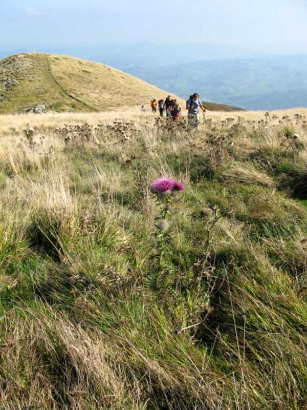
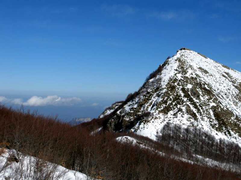
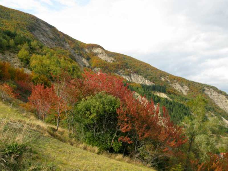
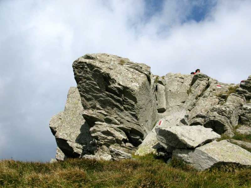
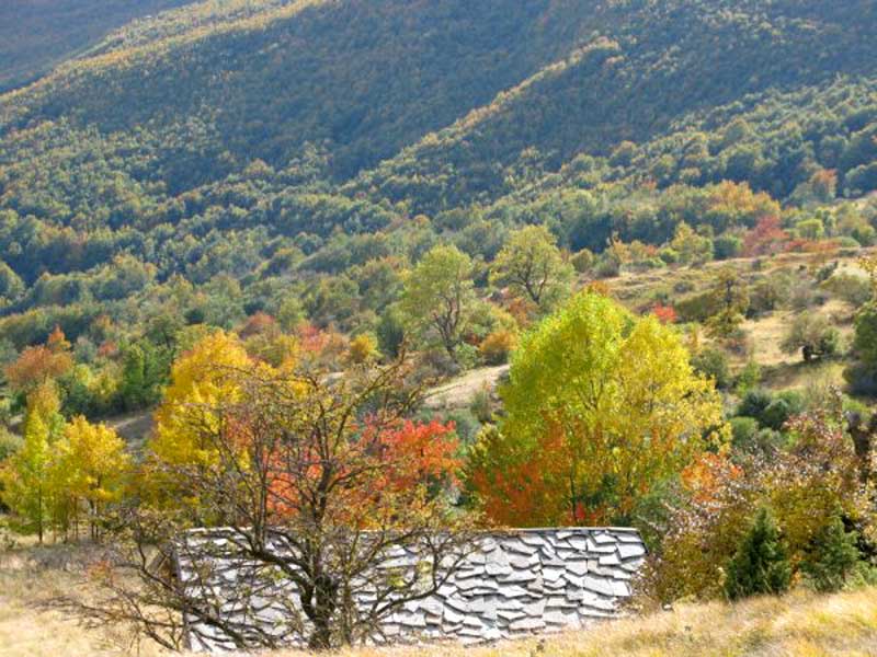
Mt. Cisa and Mt. Prampa can be seen from the whole Val Secchia, since they stand out from the main ridges and seem to protect from the north wind the village of Monteorsaro, the highest historical settlement of the valley. Therefore, great panoramas and great geological and landscape interest, along trails crossing ancient pastures that have been contented for centuries.

Stops: Monteorsaro Mountain Hut, 32 beds, open during the summer and the weekends, Tel. +39 329 6216576 - www.rifugiomonteorsaro.it

Share on
On Prampa
Mt. Cisa in winter
Autumn colors at the foot of Mt. Prampa
Summit of Mt. Cisa
 
© 2024 - Ente Parco Nazionale Appennino Tosco-Emiliano
Via Comunale, 23 54013 Sassalbo di Fivizzano (MS) Tel. 0585-947200 - Contatti
C.F./P.IVA 02018520359
Codice univoco per la fatturazione elettronica: UF6SX1 PagoPA
The Park is a mosaic of villages

The Tuscan-Emilian Apennine National Park is made of a variety of distinct and different pieces that come together to create one unforgettable vacation.
While the diversity of the villages, attractions, forests, and mountains may surprise you, their close proximity allows visitors to see a little bit of everything in a short amount of time.
The more you see, the more you can appreciate the entire region. Explore the mosaic of places, people and experiences which make up the Park!

Facebook
Twitter
Youtube
Flickr